


Western Pennsylvanians breathing a sigh of relief after the brunt of a major snowstorm passed through this week may be in for a rude awakening as the region’s coldest temperatures this season hover on the horizon.
Temperatures reaching the 40s on Wednesday will drop quickly to the 20s by Thursday and Friday, with lows at or near zero. According to the National Weather Service, Thursday will see a high of 22 degrees and a low ranging from zero to 2, while Friday will have a high of 19 and a low between 2 and 4 degrees.
“These look to be the coldest then this year,” said Myranda Fullerton, a meteorologist in the agencies office in Moon Township.
She noted that during two days this month, temperatures dropped to the mid-20s with lows in the teens at night. On another day this month, lows reached 6 degrees overnight.
Normal temperatures for this time of year are typically around 36 degrees for the high with lows of 21 degrees.
According to Fullerton, it is not uncommon to see temperatures reach the single digits for a few days in January and February. The weather service reported that minimum temperatures below zero occur about five times a year, while a maximum temperature of zero or below occurs about once every 10 years.
Enjoy tomorrow, it will be the only day where temperatures are projected to be above freezing in our 7 day forecast. The rest of the month of January doesn't look to promising for a warm up either…. pic.twitter.com/nMjG9NPQok
— NWS Pittsburgh (@NWSPittsburgh) January 19, 2022
She noted that the region saw similar temperatures as recently as last February, when lows on two days dipped to 8 and 2 degrees.
What is more uncommon, Fullerton said, is when there is a stretch of frigid days.
The last time a significant stretch was recorded was in February 2015, the fourth-coldest month on record for the Pittsburgh area.
Related
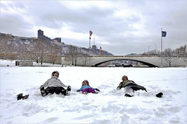
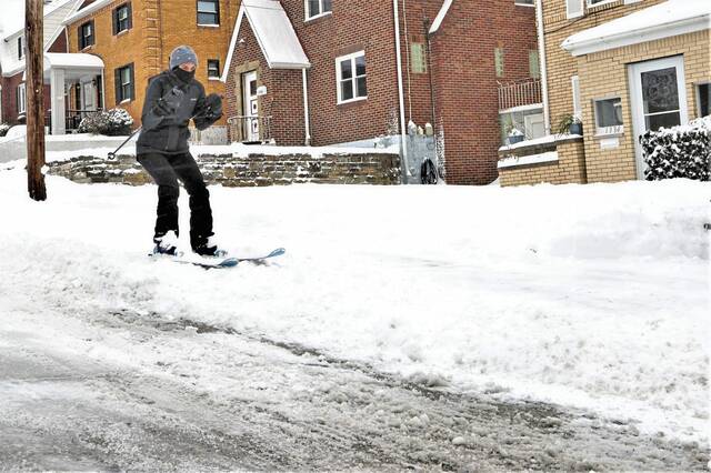
• Western Pennsylvania hit with biggest snowfall of season
• Fun in the snow: Readers share photos of sledding, shoveling, snowball fights
From Feb. 12-28, 2015, only four days saw low temperatures of 10 degrees or higher. The remainder were in the single digits or negatives. The coldest temperatures were recorded Feb. 10, 2015, when the high reached 12 and the low was minus 10.
The short-term forecast predicts temperatures will be in the upper 20s throughout the day Tuesday, with lows falling to 23 degrees by 8 p.m. Overnight, temperatures will begin to rise, hovering in the lower 30s.
Fullerton attributed the temperatures to a weather pattern that is pulling cold air from Canada.
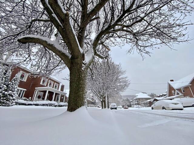
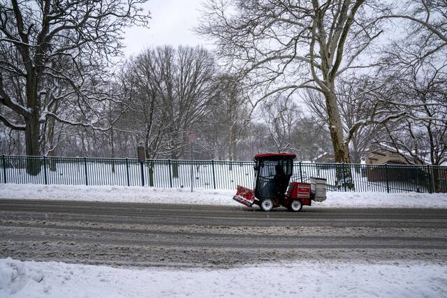
The cold temperatures will come days after a major snowstorm dumped between 4 and 12 inches across region Sunday night into Monday, forcing communities to dig out cars and driveways and leading to the cancellation of events and services.
According to Fullerton, cold temperatures likely will continue throughout the month and into the middle of February.
“We can anticipate these colder temperatures to continue,” Fullerton said. “Through the end of January, I would anticipate below-normal temperatures, kind of a similar pattern to what we have. … It looks like at least through the first half of February there’s actually a pretty decent chance we will continue this pattern of below-average temperatures.”
In addition to below-average temperatures, above-average precipitation could also be headed to the region during the remainder of winter.