A stretch of mild weather will come to an end Wednesday night and snow will return, according to the National Weather Service.
Rain is expected to become widespread this afternoon and change over to snow after 8 p.m. as it gets colder, meteorologist Myranda Fullerton said.
Through early Thursday morning, up to an inch of snow is forecast to accumulate in Allegheny County, with higher amounts to the east and north, she said.
Totals in Westmoreland will range from a little over an inch in the western parts of the county up to 3-to-4 inches in the higher elevations in the east. The weather service has issued a winter weather advisory for the eastern ridges in Westmoreland down through Fayette County, Fullerton said.
Winter comeback tonight! ❄️ More rain this afternoon, which changes to snow behind a strong cold front tonight. In the Winter Weather Advisory area: 2-6" snow, 40-50 MPH wind gusts, and wind chill in the single digits. Advisory expansion north of I-80 possible, stay tuned! pic.twitter.com/mpEj7K4ihq
— NWS Pittsburgh (@NWSPittsburgh) February 26, 2020
Between 2.5 and 3 inches is expected north of Interstate 80, she said.
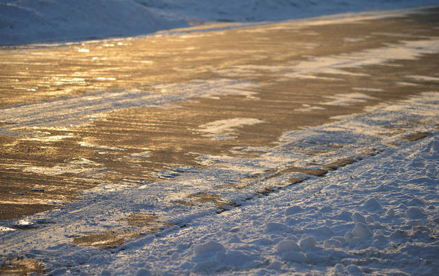
Roads could be slippery for the morning rush hour, Fullerton said.
However, the ground is warm from the recent run of mild weather, which could cause less accumulation on treated roads, she said. Drivers should remain cautious on bridges and overpasses.
Allegheny County will deploy 28 salt trucks starting at midnight, public works Director Stephen Shanley said in a statement.
“While we are currently expecting only minor accumulation, we are monitoring the weather and are prepared in case the forecast changes or problem areas arise,” he said. “We advise drivers to be extra cautious and leave additional time to reach their destination tomorrow, especially during the morning rush hour, as there might be slick spots on roads and bridges.”
While the snow is expected to lighten up by dawn Thursday, Fullerton said it will not completely stop. Lingering snow showers are expected through the day, with lake-effect enhancements especially north of I-80.
The average high for this time of year is 45 degrees. The high reached 48 on Tuesday and 54 on Monday.
It’s expected to get into the upper 40s or low 50s by mid-afternoon Wednesday before a cold front comes through, dropping overnight lows into the low-to-mid 20s, Fullerton said. High temperatures are expected to remain below normal before warming back up on Sunday.