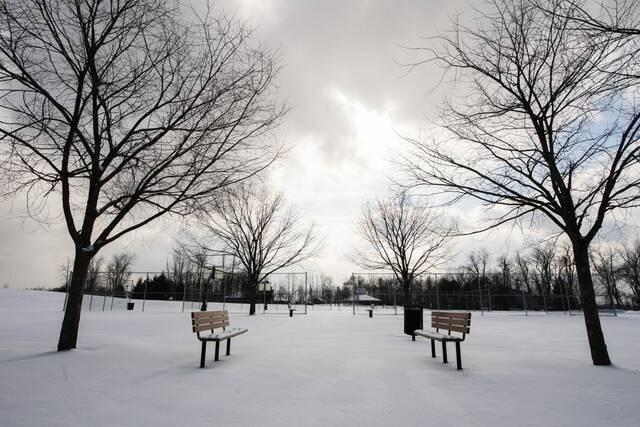
The Pittsburgh region will be warming up a little Thursday after a frigid morning, but will continue its streak of below-freezing weather through the weekend, a National Weather Service meteorologist said.
Low temperatures around the area ranged from just slightly above zero in spots, such as 2 degrees at the Allegheny County Airport, to as far as 15 below zero in Slippery Rock, meteorologist Bill Modzelewski said.
Temperatures in other locations between 5 and 5:30 a.m. Thursday morning included 10 below zero in Butler and Kittanning; 7 below in Fox Chapel, 6 below in Greensburg and 5 below in Monroeville and New Kensington.
Those readings were expected to drop over the next couple of hours leading to sunrise, Modzelewski said. Despite how cold it is, no records are being threatened.
A few water main breaks were also reported around the area. They included one on Rialto Street in Pittsburgh’s Troy Hill neighborhood, Spencer Avenue in the Carrick neighborhood, and along Lenore Drive in Stowe, WPXI reported.
Very cold temperatures will continue this morning. Light snow chances return later today and tonight. pic.twitter.com/S6MpdClp3e
— NWS Pittsburgh (@NWSPittsburgh) January 27, 2022
After a frigid start, a relative warmup is expected thanks to warmer air moving in on southerly winds. The high is expected to reach 30 degrees, but not until late afternoon. The low will go only to the lower 20s.
That’s close to the averages for this time of year, with normal highs around the mid-30s and lows around 20.
There’s a chance for light snow Thursday night into Friday, Modzelewski said. Most of the area will see an inch or less, with 2 to 4 inches in the higher terrain of eastern Westmoreland and Fayette counties.
That snow is not related to the nor’easter approaching the East Coast, Modzelewski said. The Pittsburgh area will not see any snow from that event.
The Pittsburgh area has been below freezing for more than a week, with Jan. 19 being the last day it was above. Lows in the single digits to 5 below zero are expected again Friday and Saturday nights, and around 10 Sunday night.
The frigid stretch is expected to continue until Tuesday, when Modzelewski said there will be a few days of highs in the 40s before the next cold front comes through toward the end of next week.
On those days when it does get above freezing, overnight lows below freezing will help keep concerns about snow melt and melting river ice under control, Modzelewski said.
“The warm up should be gradual enough to where we have a slow melting of the snow,” he said. “That’s usually the best we can hope for.”