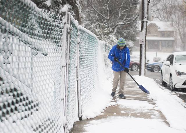


The Pittsburgh area got a bit more snow than had been expected on Tuesday, but no records were broken, according to the National Weather Service.
Nearly 7 inches, 6.8 to be precise, was measured at the National Weather Service office in Moon, where the official reading is taken, meteorologist Mike Kennedy said. Reports across the county ranged from 6-to-8 inches, with the same range measured across Beaver County.
The record for Dec. 1 of 8.5 inches set in 1974 still stands.

The snow that fell over the course of the entire day was more than the 3-to-4 inches that was forecast.
“It did trend up. We got pretty much the higher end of the spectrum for the whole area we were looking at,” Kennedy said. “It’s not that often we get that much here locally. It was a pretty good event.”
Between 8 and 10 inches had been forecast for the ridges to the east, and that’s what was recorded. In Greensburg, 7 inches was measured.
More snow fell in areas to the north. Up to a foot was measured in southern Butler County, while 15 inches fell in northern Mercer County, Kennedy said.

All winter weather advisories and warnings ended around 4 a.m. Wednesday.
While snow accumulated on grassy areas and elevated surfaces, warm ground temperatures along with treatment helped keep roads in generally good condition, Kennedy said.
No additional snow is in the immediate forecast, although there is a chance for about an inch overnight Saturday into Sunday morning, Kennedy said.