Allegheny County has created a map to assist those who may be seeking free food distributions during the coronavirus pandemic.
The map breaks down the distributions into groups, including some that serve only students or only seniors. The map can also be filtered to include specific results.
It includes school grab-and-go sites, food pantries, churches and other locations. The map allows a user to input their address in order to find the closest distribution point.
Some known locations outside of Allegheny County have also been included.
Food distributions have been rolling on as Gov. Tom Wolf’s stay-at-home order persists and Pennsylvania has seen a large increase in unemployment claims.
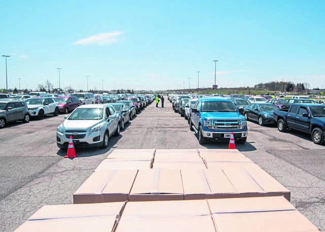
Hundreds of cars lined up at the Greater Pittsburgh Community Food Bank’s distribution Monday in Duquesne. On Tuesday, Sysco Pittsburgh partnered with 412 Food Rescue, The Church Brew Works and other volunteers for a produce giveaway in Lawrenceville.
Allegheny County’s map will be continuously updated and can also be found on the county’s website.
Last week, the county launched a map showing the number of coronavirus cases in each municipality.


