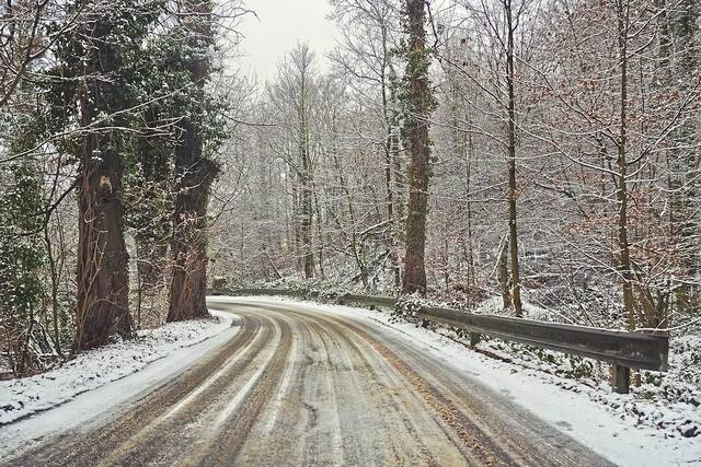
Westmoreland and Allegheny counties largely missed a weather system that moved through the state this weekend, bringing with it freezing rain and slick conditions for several counties in northern parts of the region.
Freezing rain impacted several areas north of Interstate 80, which were under a winter weather advisory for most of Saturday night. According to National Weather Service meteorologist Myranda Fullerton, icy conditions were reported across several of those counties before temperatures began to rise Sunday morning.
Counties south of the Interstate 80 corridor, however, saw temperatures rise above freezing before showers started to fall overnight.
“Temperatures rose above freezing pretty quickly by the time that the rain came,” Fullerton said. “We were maybe 33, 34 degrees, just above, so we’re not aware of any widespread issues across those counties.”
Officials began warning of possible icy conditions Friday evening as temperatures remained in the teens. The threat of inclement weather in northern parts of the region prompted PennDOT to ask motorists to postpone unnecessary travel during the storm. The entity also implemented various speed and vehicle restrictions throughout Saturday night.
A winter weather advisory went into effect from midnight to 7 a.m. Sunday for several counties including Butler, Armstrong, Indiana, Clarion, Jefferson, Venango and Forest. It was later expanded to Mercer and Lawrence counties. The advisory called for a light glaze of ice, with total ice accumulations of less than one tenth of an inch in some areas.
According to a tweet from the National Weather Service, several icy conditions were reported near Oil City, DuBois and Kittanning, among others.
If you are seeing ice, we want to know about it. All the pink boxes below are where we've seen icy conditions due to freezing rain. pic.twitter.com/nGchkAbRhH
— NWS Pittsburgh (@NWSPittsburgh) January 9, 2022
Temperatures were expected to rise throughout the morning Sunday, reaching the upper 30s by 7 a.m.
Mild temperatures will remain throughout Sunday as the system continues through the region, bringing widespread rain showers.
Rain showers will continue today, expect temperature to warm a few degrees until a cold front moves through the area later this afternoon and evening. This will drop temperatures quickly. pic.twitter.com/dbmk9oaqWb
— NWS Pittsburgh (@NWSPittsburgh) January 9, 2022
A cold front will follow the system as it moves out of the region, dropping temperatures into the teens overnight into Monday. Temperatures will rise to the mid-20s throughout the day, which is about 10 degrees below average for this time of year, Fullerton said. Snow showers are also expected throughout Monday with little to no accumulation.
Fullerton noted that any lingering water along roadways could refreeze as temperatures drop Sunday evening.
“Even though we aren’t anticipating any falling (precipitation) motorists should be cautious for tomorrow morning, especially before daylight for any slick spots, overpasses, anything that has residual moisture on it,” Fullerton said.
Temperatures will remain the same going into Tuesday, with sunny skies expected throughout the day.
By Wednesday, temperatures will begin to warm up toward more average values for the remainder of the week.