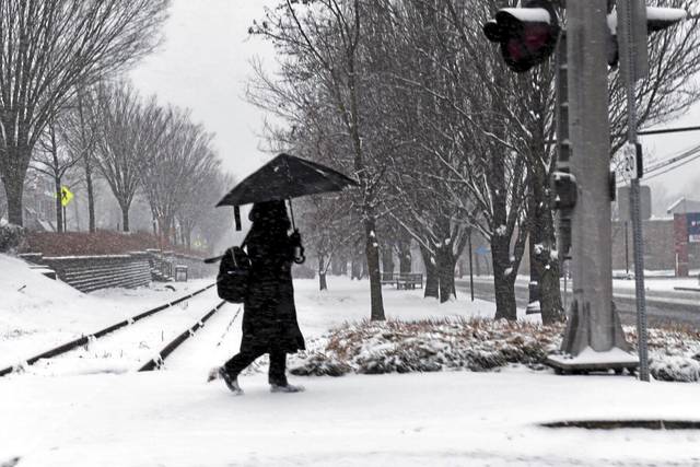


Snow has turned to rain across much of the region, leading the National Weather Service to change its morning winter weather advisory to a flood watch until midnight.
Rain will continue through the night and is expected to taper off by Thursday morning, with temperatures staying above freezing, said meteorologist Lee Hendricks, who works in the agency’s Moon office.
“The rain should help with melting the snow,” he said. “Some streams and creeks may overflow their banks.”
The flood watch applies to parts of Greene, Fayette, Westmoreland and Washington counties.
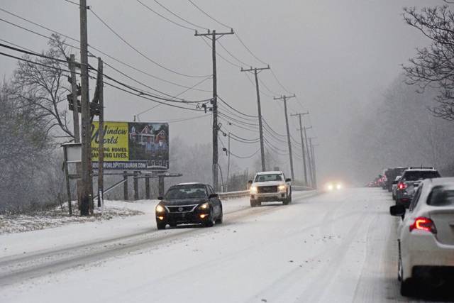
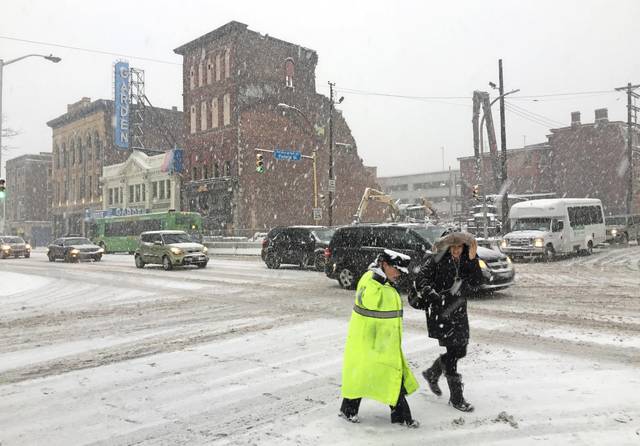
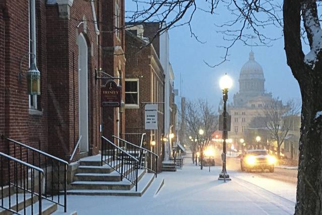
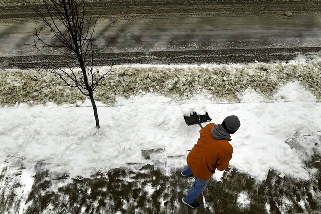
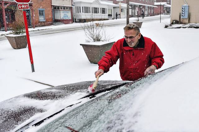
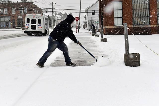
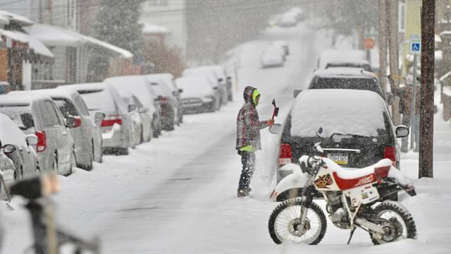
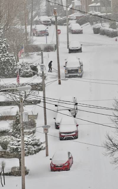
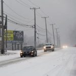
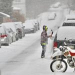
Snowfall rates of up to 1 inch per hour during the morning rush hour led to a quick accumulation of snow across the region, hampering the commute and blanketing the region with snow.
The National Weather Service in Moon issued a winter weather advisory for most of Western Pennsylvania, in effect until noon Wednesday. Most of the Pittsburgh region saw 4 inches or more of snow, with some light ice accumulations as the snow transitions to a wintry mix and then rain during the early afternoon.
Many school districts and other organizations were either closed or operated on a two-hour delay.
Dozens of inbound and outbound flights at Pittsburgh International were canceled. All on-street bus routes were delayed for about an hour due to traffic and road conditions, the Port Authority of Allegheny County tweeted.
All on-street bus routes are delayed about an hour due to traffic/road conditions. Busway routes are only delayed slightly. Bus routes Y46 and Y49 outbound are blocked at 51 at Brownsville Rd due to a jackknifed tractor trailer. Extended delays expected on those routes
— Port Authority PGH (@PGHtransit) February 20, 2019
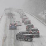
Several Pennsylvania roads had travel restrictions. PennDOT reduced the speed limit to 45 mph on I-70, I-79, I-579, the Parkways North, East and West, Route 22/30 and Route 28. Weather conditions also closed the I-279 HOV lanes.
A Port Authority bus struck a building along Seneca Street in Pittsburgh’s Uptown neighborhood after it slid backwards and jackknifed on ice. No one was injured.
We have reports that a 61A slid on ice on Seneca Street in the city’s Uptown neighborhood. The bus jackknifed and is currently waylaid against the side of a building. No injuries reported. Crews are en route.
— Port Authority PGH (@PGHtransit) February 20, 2019
https://twitter.com/Allegheny_Co/status/1098221917285335040
BREAKING NEWS: McKnight Road is CLOSED in Both Directions in the area of Lower Babcock Blvd in Ross Twp. Police Re-Directing Traffic Until the Road Can Be Treated. #PittsburghTraffic #wpxistorm #wpxi pic.twitter.com/FB2I5auzn5
— WPXI Traffic (@WPXITraffic) February 20, 2019
Snow is falling now, but it will transition to a wintry mix before going to all rain later this morning. Below is the time range when freezing rain will switch to rain. pic.twitter.com/ADxofuprgv
— NWS Pittsburgh (@NWSPittsburgh) February 20, 2019
Its going to be getting worse by 7am across the region with 1" per hour snow rates possible through 9am. This will put down a quick few inches across the region.
— NWS Pittsburgh (@NWSPittsburgh) February 20, 2019
A winter storm warning was issued for the ridges of Westmoreland County, where up to 7 inches of snow could fall. Central and eastern portions of the state also were under a winter storm warning.
A wintry mix of precipitation still expected with transition to rain through the day. Winter Weather Advisories and Warnings remain in effect. Check regional radar updates at https://t.co/bx38TLx2BH pic.twitter.com/3lcPT7Fo3e
— NWS Pittsburgh (@NWSPittsburgh) February 20, 2019
The NWS issued winter storm alerts for several parts of the Ohio Valley and mid-Atlantic starting late Tuesday.